The whole site.
Every detail.
A clearer decision.
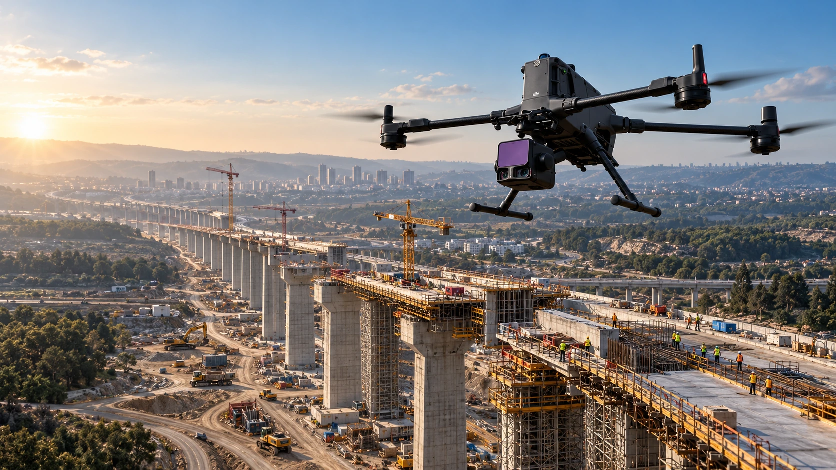
We turn aerial surveys, advanced sensing and AI into practical information for construction, infrastructure and municipalities.
The control is in your hands.
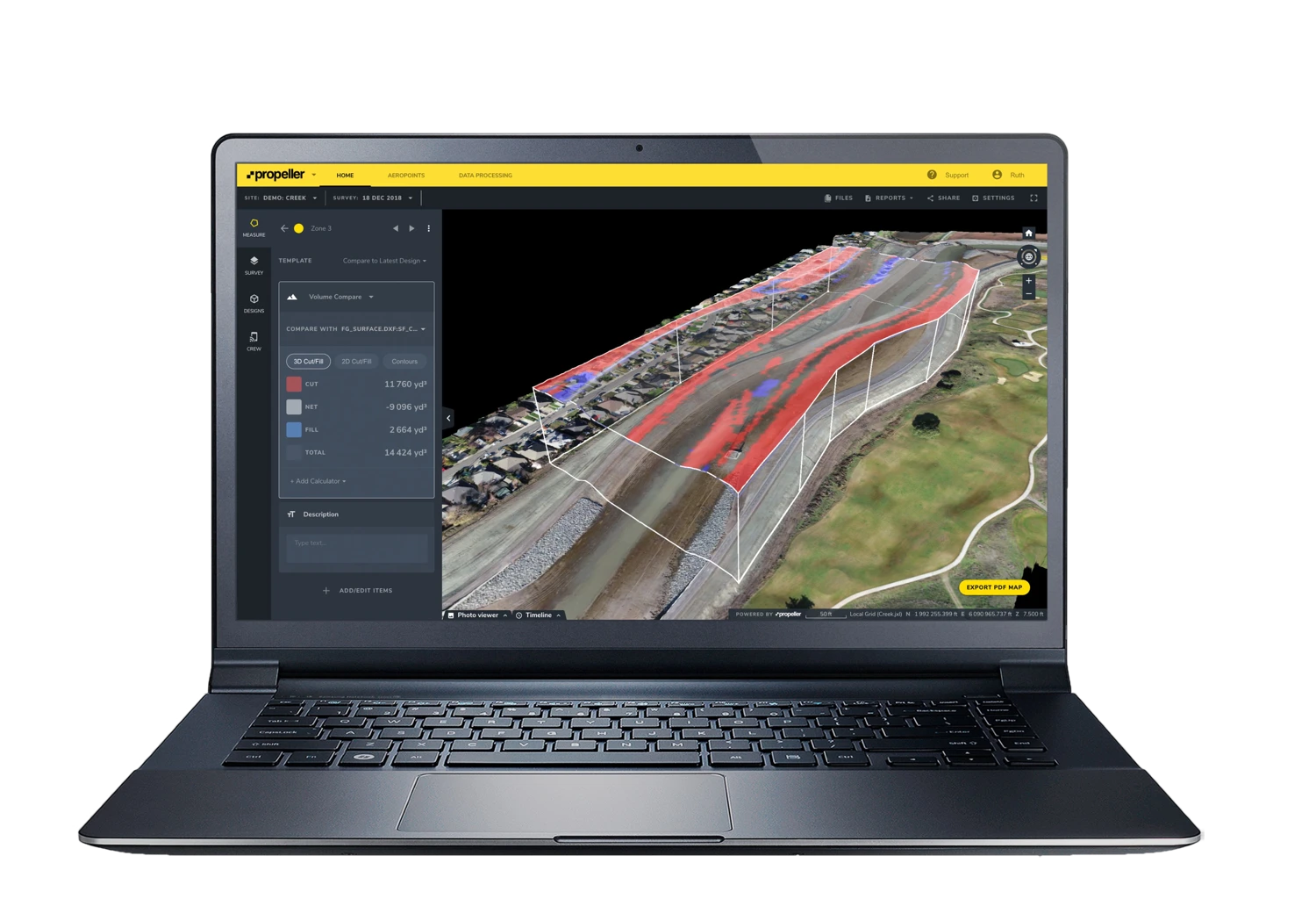
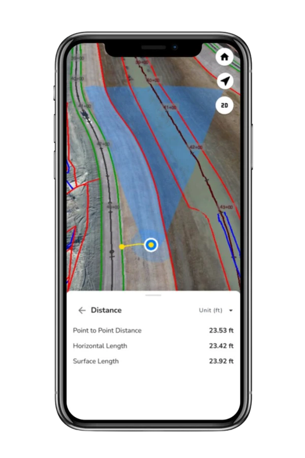
From the desktop in the office to the phone in the field, explore your site, measure the work and share the same information. We handle capture, processing and delivery in Terrascan Labs Platform so your team can focus on the project.
Know where the work stands.
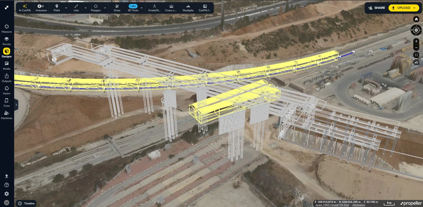
Review dated site surveys, inspect the bridge and its surroundings in 3D, and bring a shared visual record to every progress meeting.
- Compare survey dates
- Document milestones
- Coordinate field and office
Built in the field. Focused on your next decision.
More than 150 projects every month and well over 10,000 completed missions. That experience connects our pilots, survey workflows, sensor expertise and analysis—from the first flight plan to the information your team uses.
Get to know Terrascan Labs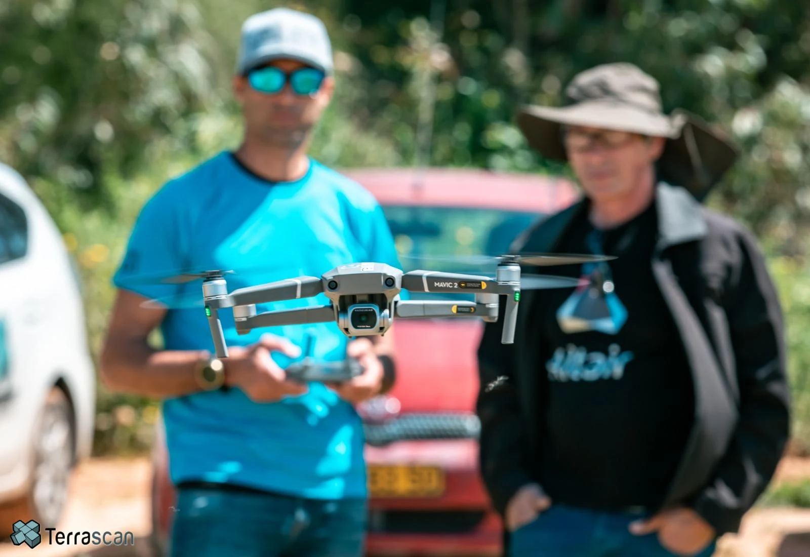
Your project. Our complete solution.
Terrascan Labs provides turnkey aerial intelligence: from planning and field capture to verified data, an accessible cloud workspace and the reports your team needs to act.
We take care of the whole workflow.
Nationwide coverage and recurring site visits
A single point of contact for field, data and delivery
Less time gathering information. More time using it.
Explore the complete serviceDefine
Scope, accuracy, schedule and deliverables.
Capture
Licensed professionals and the right sensors.
Process
Quality checks, mapping and secure cloud delivery.
Put it to work
Measurements, insights, reports and team onboarding.
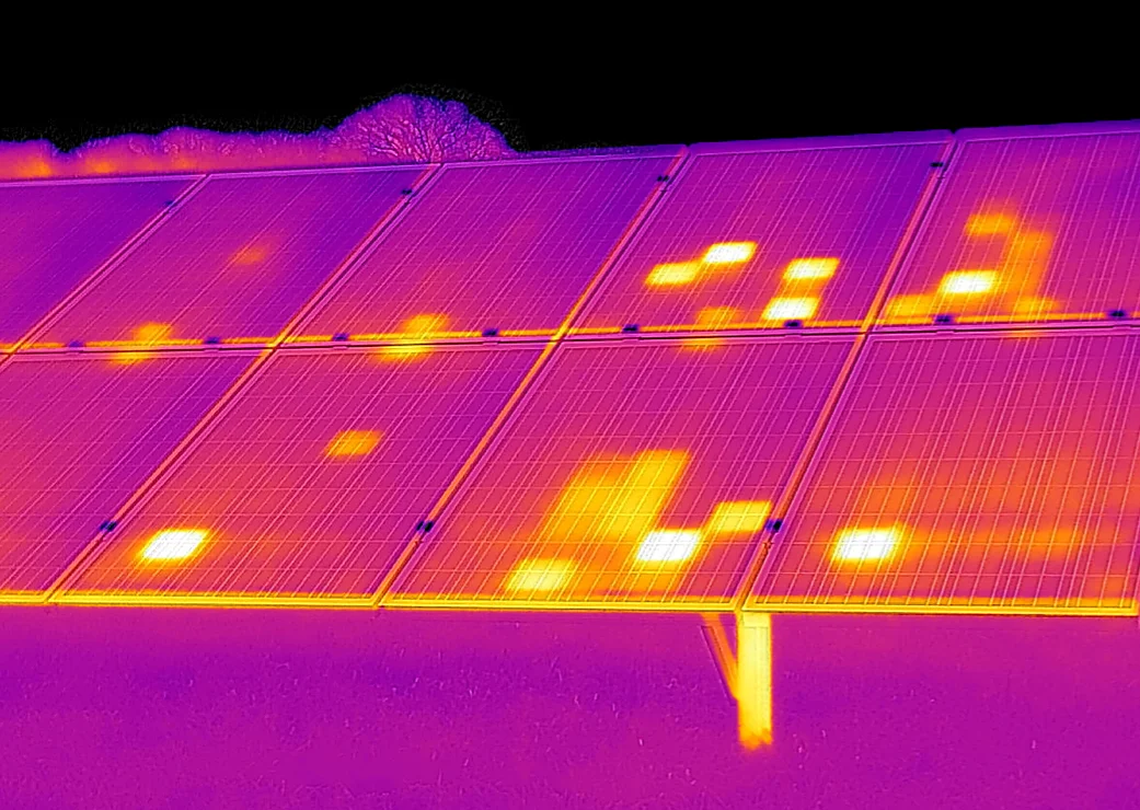
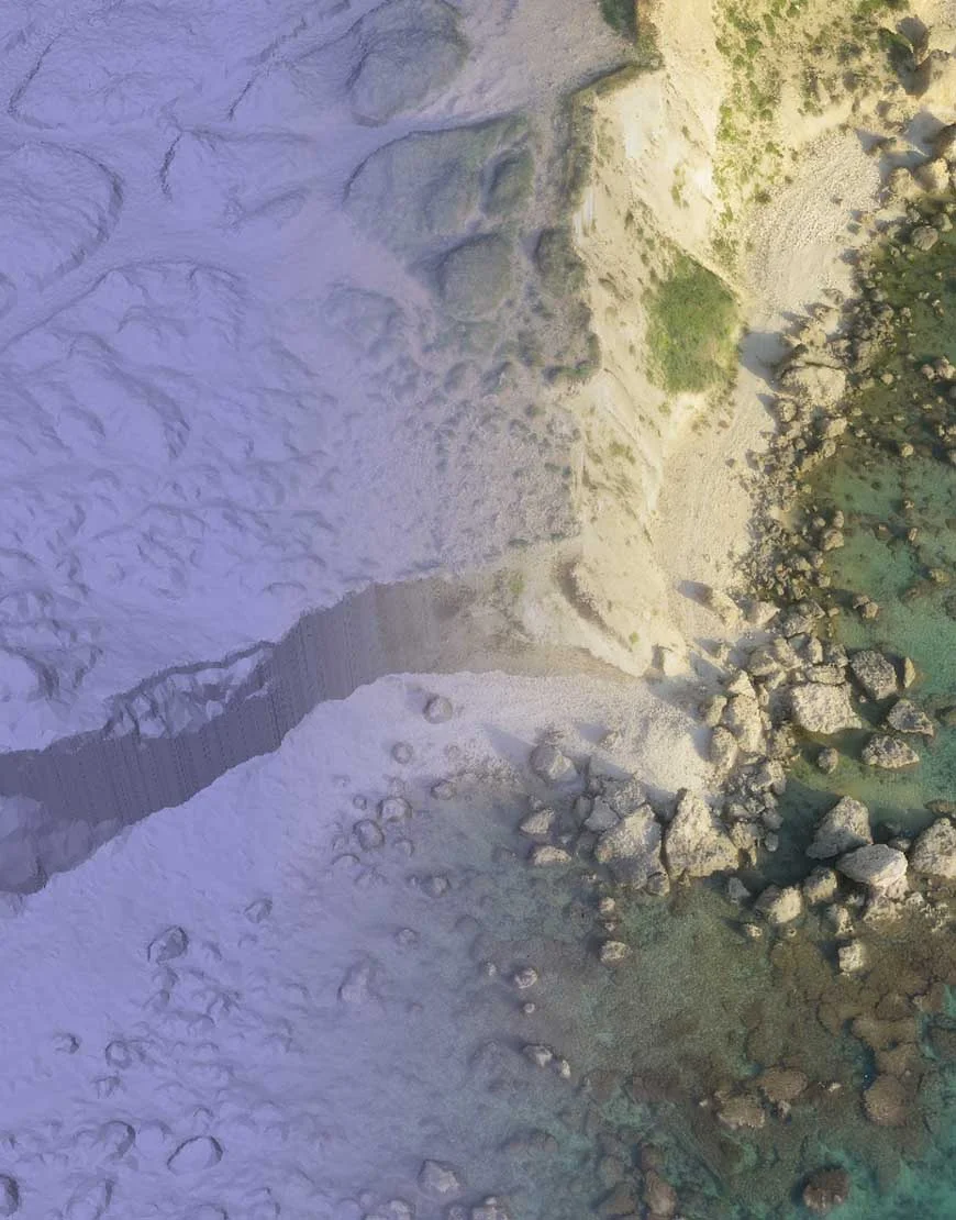
See beyond the visible.
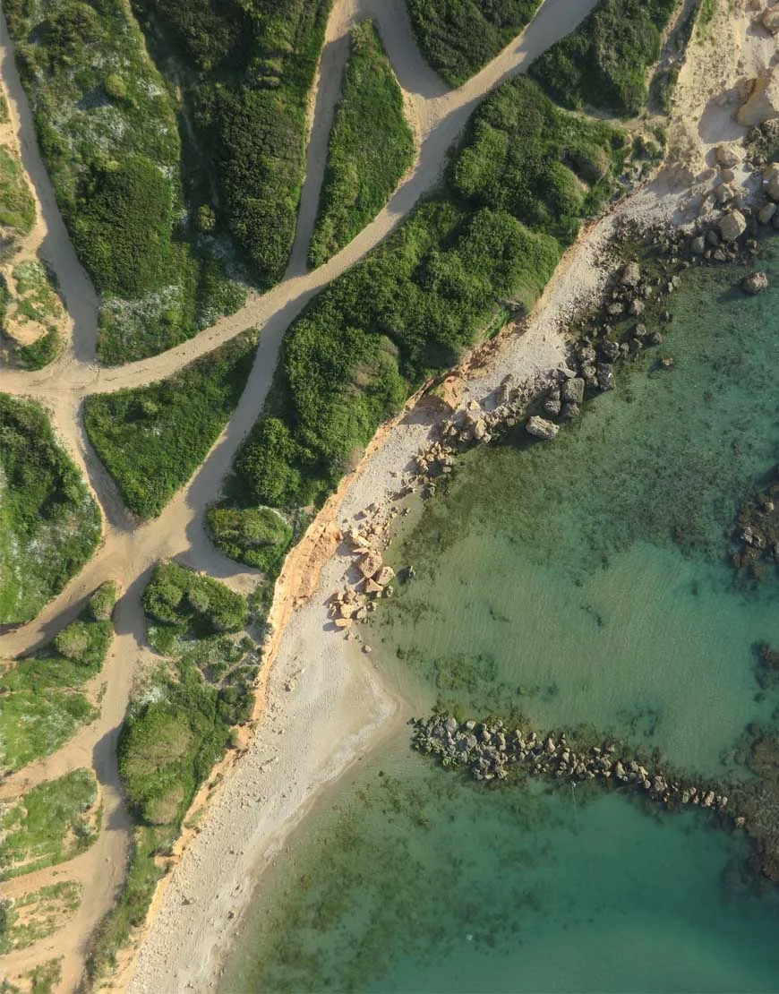
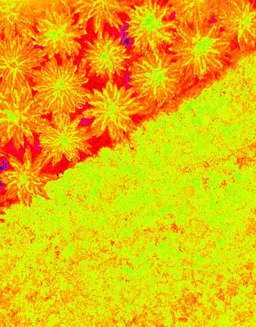
RGB mapping, LiDAR, multispectral, NIR, NDVI and radiometric thermal sensing. We select and integrate the technology around what the mission needs to reveal.
Experience that earns trust.
Working with the organizations building, operating and protecting Israel’s infrastructure.



Professional knowledge. Passed on.
Online theory, practical flight training and tailored programs for teams. Build the skills to plan, fly and deliver with confidence.
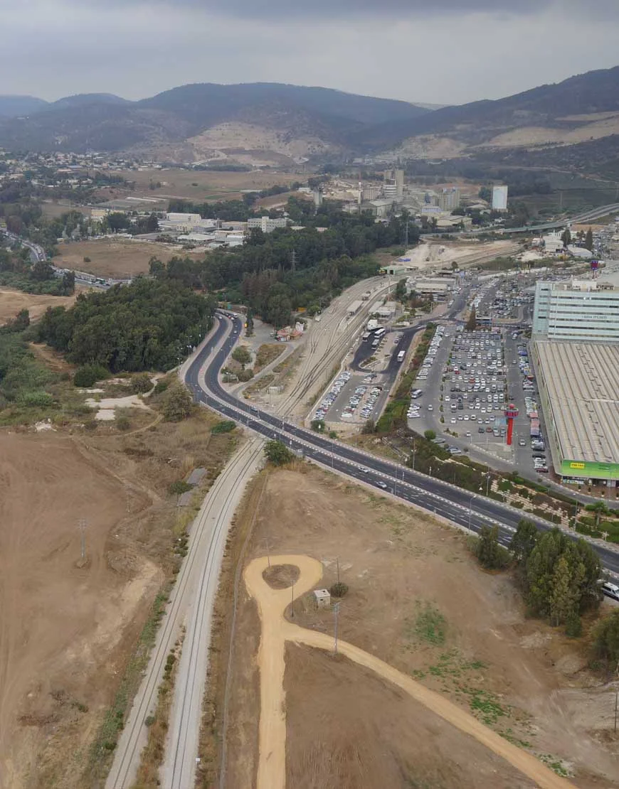
Let’s look at your project from a different perspective.
Tell us what you need to measure, inspect, monitor or test. We’ll help define the right aerial approach.