


Description
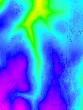
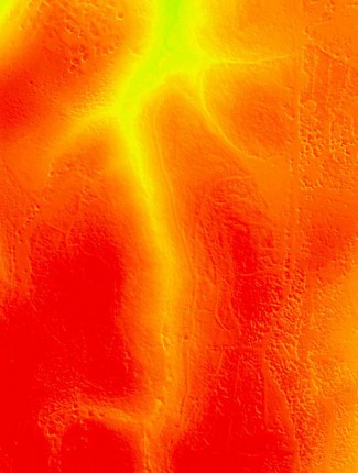
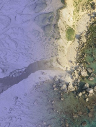
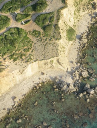
Aerial LiDAR (Light Detection and Ranging) is an aerial mapping technology in which laser returns from the earth’s surface are reflected to an overflying aircraft equipped with on-board GPS and IMU sensors.
Terrascan uses several “off the shelf” LIDAR sensors and integrates them into its unmanned platforms.
The integration between drones and LIDAR technology provides affordable and yet accurate point clouds enabling various functions and use cases.

Reviews
There are no reviews yet.