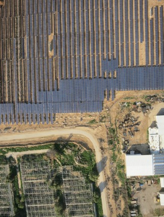
Product Description
Complete survey, includes –
Orthophoto, DEM, DTM, SHP files, DWG, object detection and more.


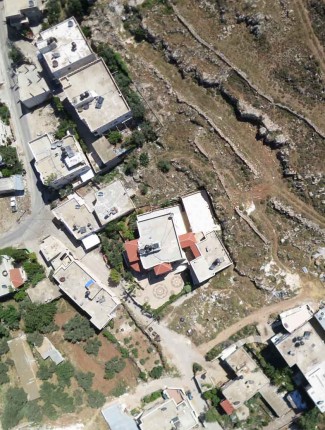
Complete survey, includes –
Orthophoto, DEM, DTM, SHP files, DWG, object detection and more.
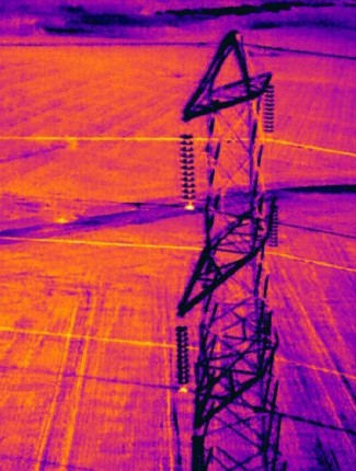
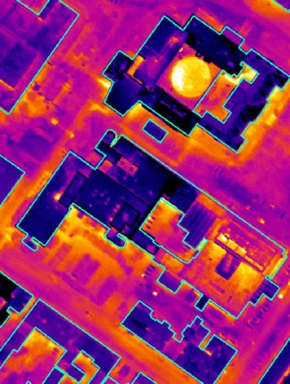
Complete survey, includes –
Orthophoto, DEM, DTM, SHP files, DWG, object detection and more.
You must be logged in to post a comment.
Reviews
There are no reviews yet.