

Description
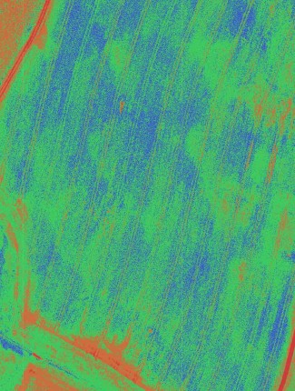
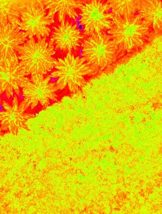
Red edge refers to the region of rapid change in reflectance of vegetation in the near infrared range of electromagnetic spectrum. Chlorophyll contained in vegetation absorbs most of the light in the visible part of the spectrum but becomes almost transparent at wavelengths greater than 700 nm. This way, vegetation cellular structure takes its major part in the reflectance because each cell acts like an elementary corner reflector. This effects in that rapid change that can be from 5% to 50% reflectance between 680 nm to 730 nm. For a more detailed explanation and a graph of the photosynthetically active radiation (PAR) spectral region, see the NDVI rationale.
The phenomenon accounts for the brightness of foliage in infrared photography and is extensively utilized in the form of so-called vegetation indices (e.g. NDVI). It is used in remote sensing to monitor plant activity, and it has been suggested that it could be useful to detect light-harvesting organisms on distant planets.[1]
Reviews
There are no reviews yet.