


Description
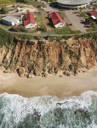
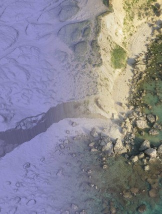
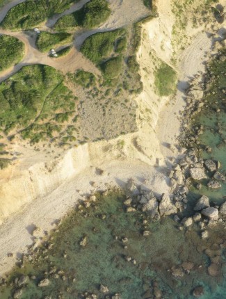
A digital elevation model (DEM) is a digital model or 3D representation of a terrain’s surface —
created from terrain elevation data. also known as DSM (digital surface model) the DEM includes the objects covering the surface such as trees, vegetation, buildings and so on.
Reviews
There are no reviews yet.