


Description
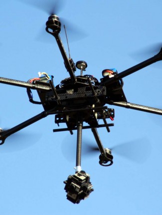
Photo realistic three dimensional model created by aerial photographs that are taken with a very precise camera mounted on one of our drones, The photographs are taken at precise intervals along a run so that the photographs overlaps just right.
For even higher precision the precise locations of control points visible in the photogrpahs are measured on the ground so that the photographs can be oriented and scaled in relation high precision RTK DGPS.
Other adjustments have to be made to the photographs to account for the tilts of the aircraft as it flies along.
What happens next?
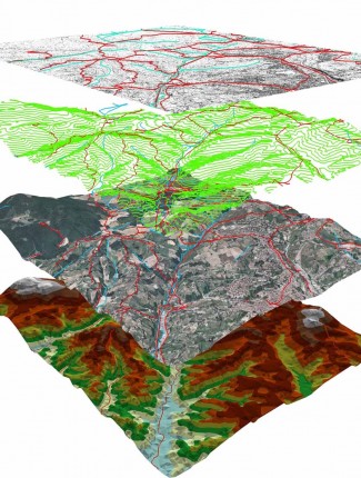
Each photograph position is calculated by cross referencing the overlapped areas, by automatically identifying distinctive points. then our servers will generate massive point cloud, usually > 10 million points. this high density point cloud later will be translated to DEM, DTM, 3DS, LAS, or any other format requested by our clientele.
Reviews
There are no reviews yet.